


Hugh
|
2017-09-19 08:58
 |
|
|
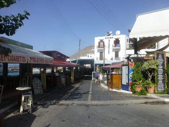
From the village square
|
||

Hugh
|
2017-09-19 09:50
 |
|
|
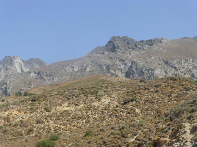
The rugged terrain
|
||

Hugh
|
2017-09-19 09:58
 |
|
|
P1060482 1
|
||

Jane
|
2017-09-19 10:30
 |
|
|
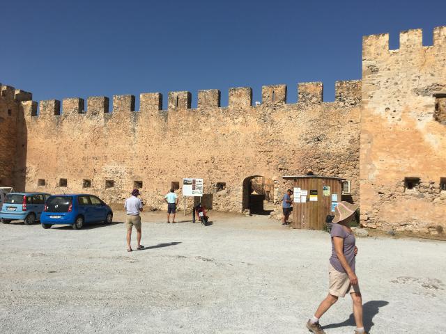
The side of the castle
|
||

Amanda
|
2017-09-19 10:32
 |
|
|
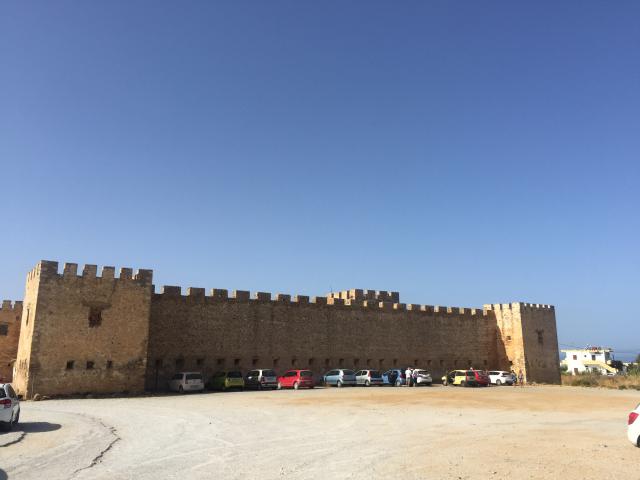
Fragokastello from the road
|
||

Hugh
|
2017-09-19 10:50
 |
|
|
P1060483 1
|
||

Graham
|
2017-09-19 11:09
 |
|
|
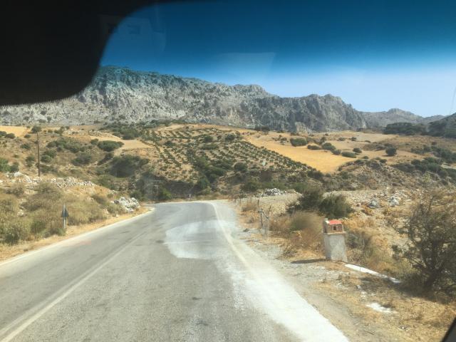
On the road to Plakias
|
||

Jane
|
2017-09-19 11:30
 |
|
|
IMG 3090 1
|
||

Amanda
|
2017-09-19 11:32
 |
|
|
IMG 3861 1
|
||

Graham
|
2017-09-19 12:09
 |
|
|
IMG 3691 1
|
||

Hugh
|
2017-09-19 12:15
 |
|
|
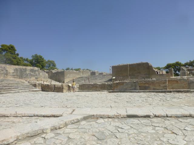
The palace ruins
|
||

Hugh
|
2017-09-19 12:15
 |
|
|
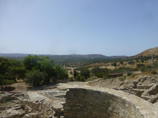
The palace ruins
|
||

Graham
|
2017-09-19 12:28
 |
|
|
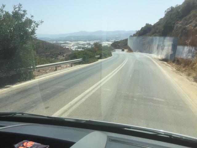
Towards Tympaki and its greenhouses
|
||

Hugh
|
2017-09-19 12:39
 |
|
|
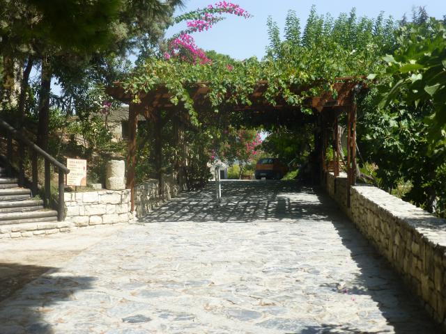
Near the ticket office
|
||

Amanda
|
2017-09-19 12:53
 |
|
|
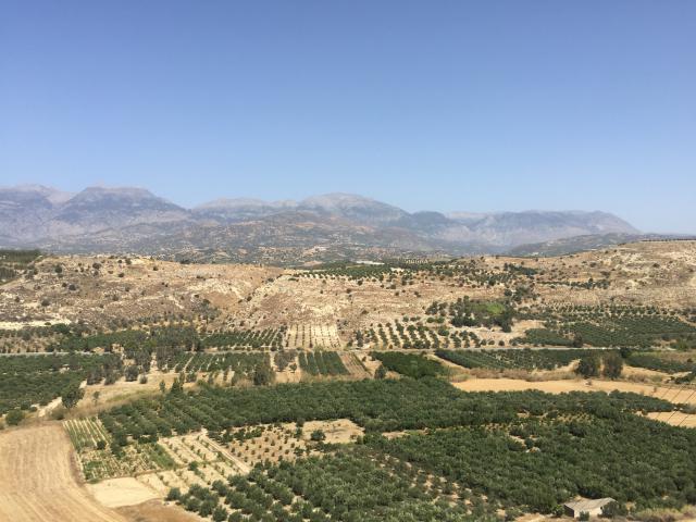
The Messara Plain from the palace
|
||

Graham
|
2017-09-19 12:59
 |
|
|
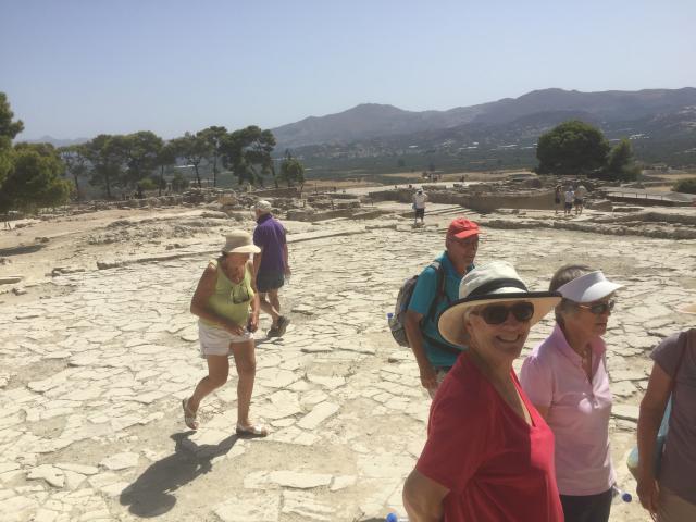
At Festos
|
||

Graham
|
2017-09-19 13:12
 |
|
|
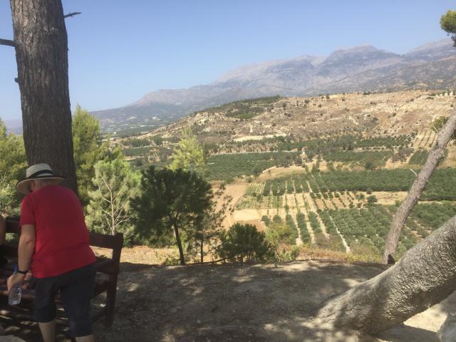
The Messara Plain from the palace
|
||

Hugh
|
2017-09-19 13:15
 |
|
|
P1060484 1
|
||

Hugh
|
2017-09-19 13:15
 |
|
|
P1060486 1
|
||

Amanda
|
2017-09-19 13:23
 |
|
|
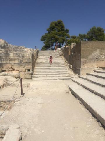
The steps at the palace
|
||

Graham
|
2017-09-19 13:28
 |
|
|
IMG 3694 1
|
||

Amanda
|
2017-09-19 13:29
 |
|
|
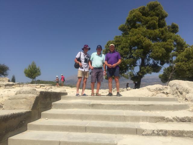
Some tourists on the steps
|
||

Amanda
|
2017-09-19 13:31
 |
|
|
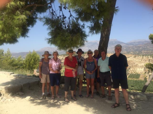
A team photo at the palace
|
||

Amanda
|
2017-09-19 13:33
 |
|
|
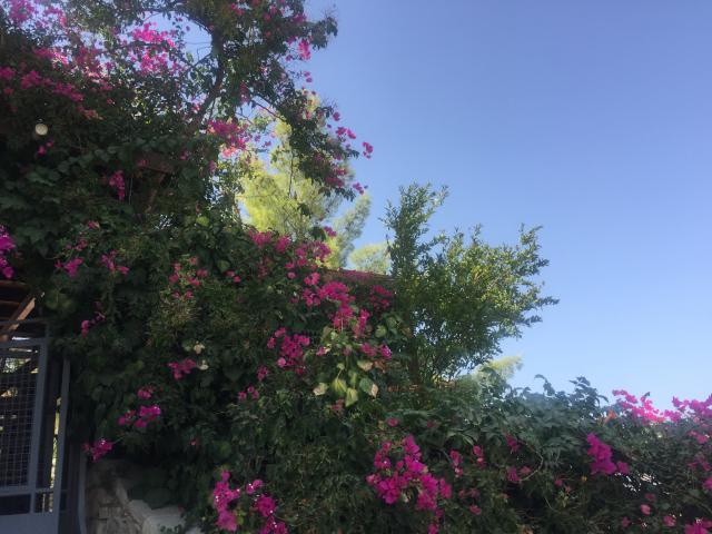
Bourgainvillia
|
||

Hugh
|
2017-09-19 13:39
 |
|
|
P1060488 1
|
||

Amanda
|
2017-09-19 13:53
 |
|
|
IMG 3862 1
|
||

Graham
|
2017-09-19 13:59
 |
|
|
IMG 3697 1
|
||

Graham
|
2017-09-19 14:12
 |
|
|
IMG 3698 1
|
||

Graham
|
2017-09-19 14:16
 |
|
|
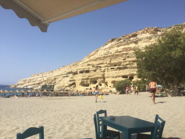
On the beach at Matala showing the caves from the 1960s inhabited by hippies
|
||

Amanda
|
2017-09-19 14:29
 |
|
|
IMG 3886 1
|
||

Amanda
|
2017-09-19 14:31
 |
|
|
IMG 3889 1
|
||

Amanda
|
2017-09-19 14:33
 |
|
|
IMG 3890 1
|
||

Hugh
|
2017-09-19 14:37
 |
|
|
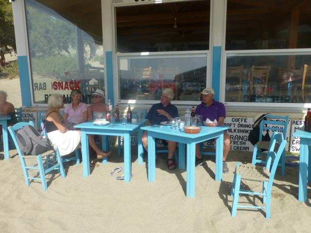
A few beers were consumed
|
||

Graham
|
2017-09-19 15:16
 |
|
|
IMG 3699 1
|
||

Hugh
|
2017-09-19 15:37
 |
|
|
P1060493 1
|
||

Hugh
|
2017-09-19 16:39
 |
|
|
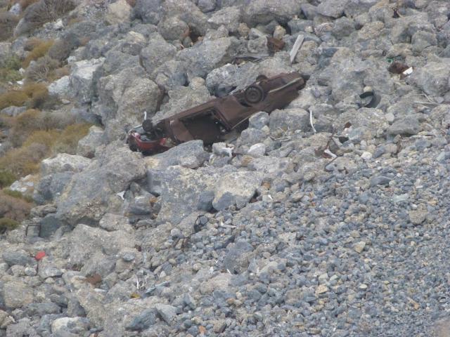
A wrecked car in the gorge
|
||

Amanda
|
2017-09-19 17:38
 |
|
|
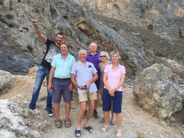
Above the gorge with Pandelis
|
||

Hugh
|
2017-09-19 17:39
 |
|
|
P1060496 1
|
||

Amanda
|
2017-09-19 18:38
 |
|
|
IMG 3896 1
|
||

Graham
|
2017-09-19 21:45
 |
|
|
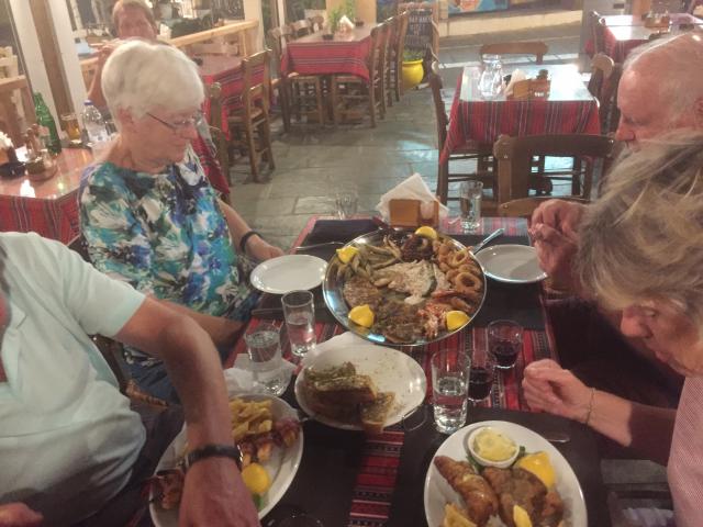
Another fish platter
|
||

Graham
|
2017-09-19 22:45
 |
|
|
IMG 3700 1
|
||